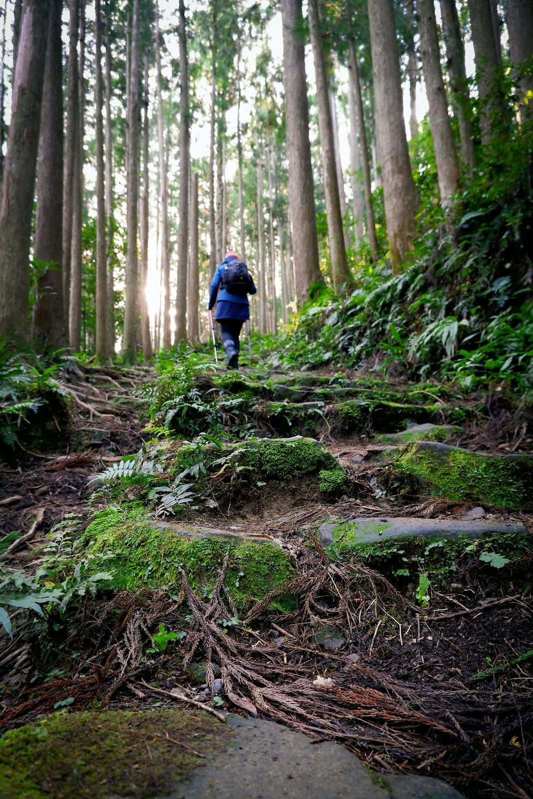
Our Kumano Kodo overview answers “what is it and do I have to walk all of it?” This is the other article — for the people who do want to walk it: the classic Nakahechi route from Takijiri to the great shrine at Hongu, broken into actual days with the official distances, the escape hatches when a day runs long, and the hot-spring villages that make the finish line one of Japan’s best. One honest framing note up front: this is a stage guide built on the Tanabe Tourism Bureau’s official route data — I know this region from its Hongu end (the valley, the onsen, short stretches of the trail) rather than from a single continuous traverse, and this guide doesn’t pretend otherwise.
The shape of the walk
The through-walk most people mean by “walking the Nakahechi” is Takijiri → Kumano Hongu Taisha, typically over two walking days plus travel days on either side:
| Day | Stage | Official distance & time |
|---|---|---|
| 0 | Osaka/Kyoto → Kii-Tanabe, bus to trailhead area | ~2.5–3 h by rail + ~40 min bus |
| 1 | Takijiri-ōji → Chikatsuyu / Tsugizakura-ōji | stage listed at ~17 km, 7–10 hrs, ~1,260 m up / ~850 m down (difficulty 4) |
| 2 | Tsugizakura-ōji → Kumano Hongu Taisha | ~21 km, 8–11 hrs — or cut it down (see below) |
| 3 | Onsen day — Yunomine or Kawayu, plus Ōyunohara | the reward |
Those two through-days are honest mountain days. The good news: the route is unusually forgiving about bailing out.
Day 1 — Takijiri to the Chikatsuyu valley
The trail leaves Takijiri-ōji (the traditional entrance to the sacred mountains) and climbs hard and early to the ridge-top village of Takahara — most of the day’s elevation happens before lunch. From there it rolls through forest and small settlements to the Chikatsuyu valley, the classic first-night stop with the route’s main cluster of minshuku. The official stage description runs to Tsugizakura-ōji at ~17 km / 7–10 hours; many walkers stop at Chikatsuyu itself and save the last stretch for morning.
Shorter-day options (official): the stage divides into shorter sections — Takijiri→Takahara, Takahara→Gyūba-dōji-guchi, and on — that can be walked independently, with local bus/shuttle support around Chikatsuyu. Starting from Takahara instead of Takijiri is a legitimate way to soften day 1.

Day 2 — The long day to Hongu (and the famous shortcut)
Tsugizakura-ōji → Kumano Hongu Taisha is ~21 km, 8–11 hours by the official listing — the biggest day of the walk. From Hosshinmon-ōji (“the gate of awakening”) the character changes: forest trail alternates with lanes through ridge-top settlements, and the descent to the shrine begins.
The escape hatch everyone should know: buses parallel the route, and the final 7 km from Hosshinmon-ōji to Hongu is the route’s celebrated half-day walk — the same section we recommend to non-trekkers in the overview guide. If day 2 looks too big, ride to Hosshinmon-ōji and walk the best part in. Arriving at Kumano Hongu Taisha on foot — then walking down to the giant torii at Ōyunohara — is the emotional payoff of the whole route, and from the valley floor it feels every bit as big as the numbers say.
Day 3 — The onsen finish
This is the part I’ll happily be first-person about, because the Hongu valley is home ground: finishing the Kumano Kodo without an onsen day is doing it wrong. Two villages sit just beyond the shrine:
- Yunomine Onsen — the ancient pilgrim’s bath village, home of UNESCO-listed Tsuboyu (our full Tsuboyu guide covers the 30-minute queue system).
- Kawayu Onsen — the river itself is the onsen: hot water wells up through the gravel of the Ōto River, and in the cooler months you can dig-and-soak riverside. It’s also the valley’s camping base, and waking up by that river is one of rural Japan’s quiet luxuries.
From Hongu, buses run back to Kii-Tanabe or onward — or continue the pilgrimage toward Nachi and its falls-and-pagoda finale (the Daimon-zaka stone staircase is the classic approach; see the overview guide for that leg).

Logistics that make or break it
- Luggage shuttle: the local inn-to-inn baggage service lets you walk with a day pack — book well ahead (the Kumano Travel system wants roughly 20 days’ notice).
- Book Chikatsuyu early: the trail towns are tiny; first-night beds are the route’s bottleneck in both spring and autumn.
- Buses are your friend, not a failure: the parallel bus line means any day can be shortened without drama — carry the current timetable.
- Insurance: steep terrain, remote valleys, and hospitals a long way down the mountain — a multi-day walk is exactly what travel medical coverage is for (below).
- Season: spring and autumn are the sweet spots; summer is a sweat-fest (start at dawn); winter is walkable but short-daylit, with snow possible on high sections — our winter walking guide covers the season in full.
Recommended · SafetyWing
SafetyWing Nomad Insurance
Steep terrain, remote valleys, and hospitals a long way down the mountain — flexible monthly coverage with claims in English, built for multi-day walks like this one.
Check SafetyWing plans →Affiliate link — a small commission may go to Beyond Kansai at no extra cost to you. Disclosure.
Quick FAQ
- How fit do I need to be? Day 1 is rated difficulty 4 with ~1,260 m of climbing — a genuine hill day. If that’s not your idea of fun, do the Hosshinmon-ōji 7 km instead and lose nothing of the arrival.
- Two days or three? Two walking days is the classic. Adding the onsen day makes it a trip instead of a workout.
- Can I walk it solo? The trail is well-signed with settlements and bus stops along the way — among Japan’s most solo-friendly multi-day walks. Standard mountain precautions apply.
- Dual Pilgrim? Yes — walking qualifying Kumano routes plus the Camino registers you as a Dual Pilgrim; details in the overview.
- Where do I get official maps? The Tanabe City Kumano Tourism Bureau publishes stage maps and the route guide — links below; carry them.
Editor’s note
Stage distances, times, elevation and difficulty (~17 km / 7–10 hrs / ~1,260 m gain, difficulty 4; ~21 km / 8–11 hrs; the Hosshinmon-ōji 7 km half-day) were taken from the Tanabe City Kumano Tourism Bureau’s official Nakahechi stage pages on 2026-07-28. Access, luggage-shuttle lead time, and the Nachi/Daimon-zaka facts follow our audited overview guide. First-person remarks are limited to the Hongu valley, Kawayu, and short trail sections — within our editor’s stated experience range; this guide does not claim a continuous through-walk. Timetables, shuttle terms and inn availability change seasonally — verify against the official pages below before committing dates. Drafted with AI assistance and editor-verified.
Sources
- Takijiri-ōji → Tsugizakura-ōji stage — Tanabe City Kumano Tourism Bureau official (~17 km, 7–10 hrs; retrieved 2026-07-28)
- Tsugizakura-ōji → Kumano Hongu Taisha stage — official (~21 km, 8–11 hrs; Hosshinmon 7 km walk)
- Nakahechi route overview — official / Luggage shuttle & storage — official
- Walking the Kumano Kodo — Beyond Kansai (audited overview: access, Dual Pilgrim, Nachi)